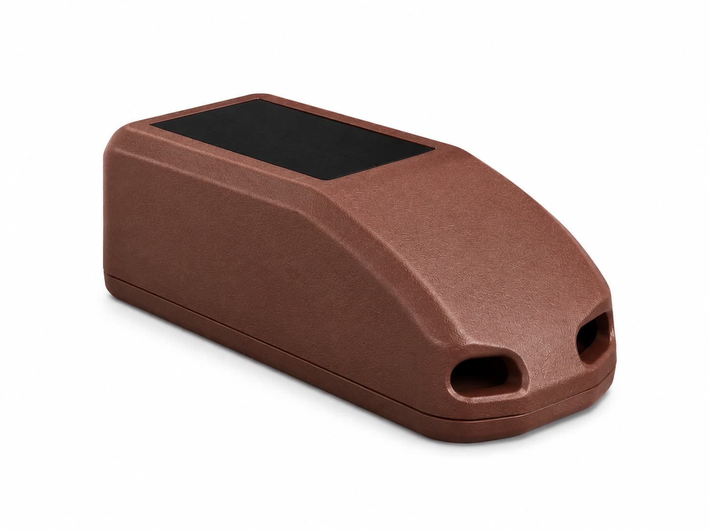
Photo of model Satellite tracker for birds

TECHNICAL SHEET

Satellite tracker for birds

Satellite tracker for bird projects in remote regions without cellular coverage.

Ask about this model

Purpose

Autonomous satellite tracker designed for wildlife tracking in remote environments without cellular coverage.

Records GNSS positions and transmits them through satellite connectivity, ensuring global coverage and data continuity in extreme conditions.

Main specifications

Device weight
≤ 80 g, adjustable according to final version
Dimensions
≈ 110 × 50 × 25 mm
Available colors
Brown / White
Housing
Technical polymer resistant to UV rays, dust and humidity
Protection
IP67
Operating temperature range
−20 °C to +50 °C
Mounting
Backpack or custom configuration according to species and protocol

Technology

Communication
Satellite network, depending on coverage
Positioning
Multi-constellation GNSS
Compatible constellations
GPS, GLONASS, Galileo, BeiDou, QZSS and SBAS
Typical accuracy
2–30 m under open sky
Security
Data encryption and device authentication
Remote configuration
Parameters adjustable through the platform and remote commands

Transmission

  • Optimized batch sending
  • Scheduled communication windows
  • Local storage with automatic resend

Energy and autonomy

Energy
Integrated monocrystalline solar panel
Battery
1000 mAh Li-Po with thermal and electrical protection
Autonomy
Continuous operation with good irradiance. Extended operation under low solar irradiance conditions.

Intelligent energy management

  • GNSS acquisition prioritization
  • Transmission conditioned by battery level
  • Adaptive modes according to energy availability

Data and compatibility

Compatibility
Geographic tracking tools and maps
Export formats
CSV, GPX and GeoJSON
Memory
Storage of up to 2000 positions on the device

Operating modes

Migration

High-frequency logging with grouped sending

Residence

Moderate logging with energy balance

Saving

Extended intervals and minimal transmission